
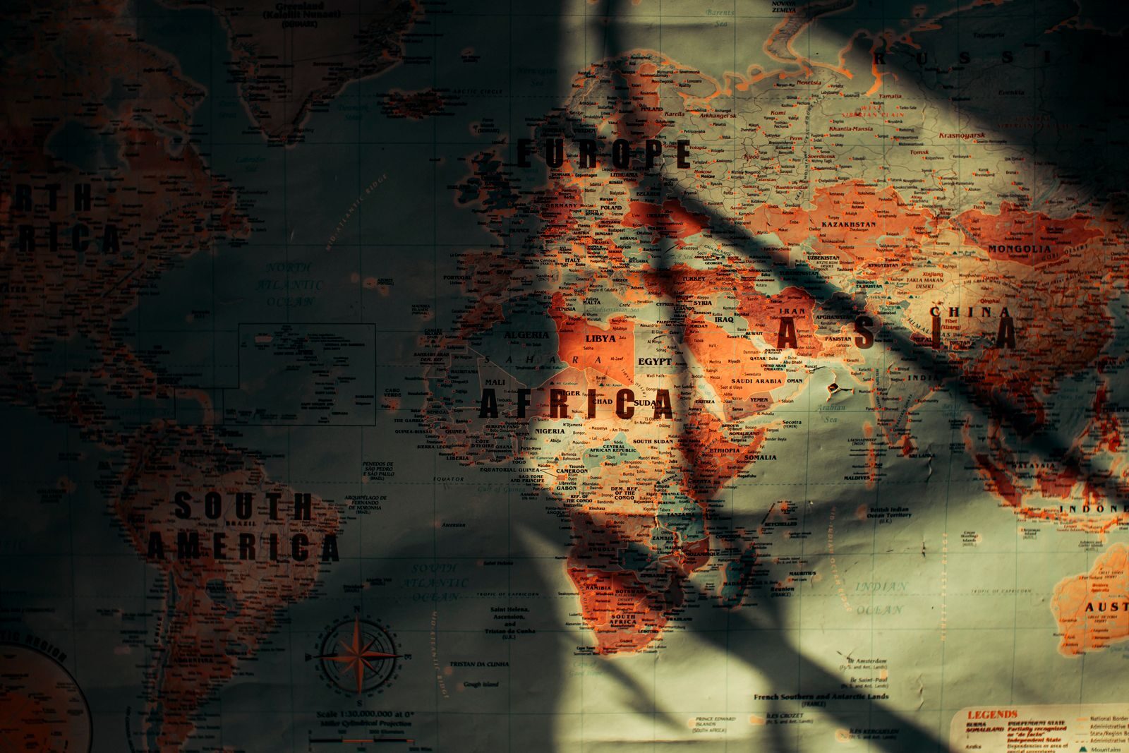
Cartographic language has always played a fundamental role in navigation, spatial representation, and the knowledge of maritime routes. However, cartography does not constitute a neutral representation of reality, as its choices of projection, scale, and centrality can reflect specific worldviews and power relations. In this regard, the Mercator projection, widely used since the 16th century, contributed to consolidating a representation of world space marked by European centrality and the power asymmetries characteristic of its historical context. In view of this, the present study seeks to analyze how the Equal Earth projection can contribute to a new geopolitical perception of the international system.
The UN (external link) Resolution in September 2026 approved the Equal Earth projection as the recommended cartography to replace the Mercator projection and its distortions. Featuring an equal-area pseudocylindrical projection, the new map reveals the true size of the African continent and of Global South countries, such as Brazil and Indonesia. At the same time, this representation enables a more accurate reading of the relative proportions of European territory and extensive ocean surfaces, contributing to a less asymmetrical perception of the spatial distribution of continental landmasses and oceans.
Cartography as an instrument of power
Maps must be seen not as mere representations of space, but rather as social discourses. As a communication system, in which spatial representations also express a specific way of interpreting and organizing the world. The way elements are highlighted can construct political or social myths; for instance, placing a country at the center of the map with enlarged dimensions conveys the myth of the centrality and superiority of that region relative to others, making an ideological choice appear as a universal truth of the Earth. Thus, geographical language legitimizes the construction of meanings attributed to territory (Girardi, 1997).
At first glance, it may seem like a merely geo-cartographic recommendation aimed at seeking a more realistic representation of the globe. However, the choice of maps remains a political choice. There are many ways to represent continental landmasses and oceans on the globe, from azimuthal to planar projections, each grounded in different criteria for representing space. The cartographic choice reflects the worldview of those who make it. Just as geographical space is not the result of a random arrangement of objects and techniques, but rather of historical processes and social relations, maps are likewise not neutral representations of territory. Their elaboration and use are associated with strategies of appropriation, organization, and control of space, as well as tactics deployed on the ground (Lacoste, 2012).
Geographic representation is essential; however, it is not neutral. To exercise power over a given territory, it is essential that it be recognized, delimited, and described, so that power relations can penetrate the terrain. Similarly, to develop geopolitical strategies for state expansion and consolidation, it is essential that the chosen map reflect distances and the relative position between territories as accurately as possible. In this sense, following Raffestin (1993), cartography can be understood as one of the instruments through which space is known, appropriated, and subjected to power relations. Thus, the choice of a projection can assume strategic importance, as it conditions the way territory is perceived, planned, and utilized by the state.
Thus, cartography constitutes a fundamental instrument for understanding geopolitics, as spatial representation provides essential elements for formulating military and diplomatic strategies. Reading territory—its dimensions, positions, borders, resources, and circulation routes—makes it possible to understand the possibilities and limitations of state action. In this sense, the analysis of state strategies is directly linked to the importance of geopolitics, understood as the study of the influence of geographical factors on power relations and the political organization of space (Kaplan, 2017).
In light of this, the UN General Assembly’s recommendation of a projection more faithful to the sizes and distances of territories reflects the international recognition of a potential reconfiguration of the international system. The Mercator projection had been used and considered a benchmark since the 16th century, during which—despite the diverse social, economic, and even geographical transformations the world underwent—there was no massive international mobilization for its replacement. However, the current international scenario reflects a shift in the distribution of power among nations and in the configuration of the international system, fostering a fertile ground for changes in concepts and techniques long considered traditional.
The recommendation for using the Equal Earth projection can be interpreted alongside the process of reconfiguring the international order and the growing centrality of new actors and maritime routes. The aforementioned projection highlights with greater clarity the magnitude of the Asian continent and its primary maritime route, the Indian Ocean. Analyzing the world according to the new projection allows for redirecting a focus traditionally oriented toward Europe and the Atlantic toward Asia and the Indian Ocean. By granting greater proportionality to the territorial representation of regions historically undersized in conventional projections, the new cartographic representation contributes to questioning a certain visual centrality of the Euro-Atlantic space.
Furthermore, the representation provided by the Equal Earth projection takes on particular relevance by underscoring the geopolitical importance of Global South countries, especially for Africa and South America, by granting greater proportionality to the territorial dimensions of these spaces. It is worth emphasizing that altering the visual scale does not modify the physical extent of territories, but transforms the way they are perceived and interpreted within the international geographic imaginary. Such a change can foster the construction of narratives that emphasize the geographic position and strategic relevance of these spaces—elements that also inform the formulation of perceptions and interests associated with states' foreign policy.
The reconfiguration of the international system
The rise of China since the 2000s, coupled with the rapid economic growth of Asian countries, has demonstrated how the international system is increasingly moving toward a process of “Asianization.” When addressing the term “Asianization,” it is important to highlight that it refers to the concept developed by author Khanna in his book “The Future is Asian” (2019), in which the term is used to describe a transformation of the international order characterized by the growing economic, political, technological, and strategic weight of Asian countries. According to the author, this process does not represent merely the isolated emergence of specific powers, but a broader transformation in the distribution of power within the international system, as Asia regains centrality in the flows of trade, investment, infrastructure, and technology.
The advance of the globalization process over recent decades has played a paradoxical and decisive role, in which, far from merely Westernizing the globe, it served as the primary catalyst for the Asian continent to reclaim its historical centrality on the international stage, which had been undermined by Western colonialism and imperialism. Therefore, it is a multidimensional movement in which Asia experiences a profound revival of its intraregional networks of trade, infrastructure, culture, and diplomacy. This phenomenon reconfigures the continent no longer as a periphery supplying inputs to the West, but rather as an autonomous, highly integrated system (Khanna, 2019).
In stating that the future is Asian, the aim is to demonstrate how the Asian system will reclaim its centrality in the international system. However, this does not mean that the countries of the region seek to build a new international order through an Asian hegemonic power, given that historically the Asian system has been characterized by its diversity and multipolarity. Thus, growing intra-Asian interdependence, through international organizations and forums for political dialogue, reinforces the cooperative dimension among countries and contributes to Asia’s increasing centrality in shaping the contemporary international order (Khanna, 2019).
In light of this, one can observe how the process known as Asianization will unfold through a multidirectional flow, where the integration process takes place as a network. The region’s historical past, marked above all by foreign interventions and territorial conquests that intensified in the nineteenth and twentieth centuries, can be understood as a rupture with the position historically held by various Asian societies in trade networks, knowledge circulation, and technological innovation. Across different periods, major Asian political and economic centers played a central role in trade routes between the West and the East and in technological innovations that subsequently spread across the globe (Khanna, 2019).
However, the expansion of European powers significantly altered this dynamic, subjecting vast portions of the continent to diverse forms of political and economic domination, reorganizing commercial and social relations to the benefit of colonial powers. In this sense, the experience of subordination endured by a significant part of the region during the nineteenth and twentieth centuries contrasts with its previous trajectory of prominence in circulation and exchange networks. Thus, it is not a matter of an emerging new center of power, but rather of the reclamation of the historical importance of the Asian system (Khanna, 2019).
The region’s conflictive dimension, considering its vast ethnic, religious, and territorial diversity, may be viewed by some analysts as an obstacle to building a multipolar Asian system, as spheres of influence are constructed. The diversity encompassing Asian territory cannot be seen as an obstacle to its integration, but, above all, as one of its defining characteristics. Far from preventing rapprochement among countries, this heterogeneity contributes to the formation of different networks of cooperation and interdependence, which are articulated around common economic, political, technological, and strategic interests. Thus, growing Asian integration does not presuppose the homogenization of the continent, but rather the capacity of different states and societies to establish cooperation mechanisms while preserving their specificities (Khanna, 2019).
Maps provide a spatial view of world politics, from which future trends can be inferred. Although the economic and technological development of certain regions encourages new ways of interpreting interstate relations, cartography continues to play an essential role in representing another vital element of geopolitics: geography (Kaplan, 2010).
For centuries, the Mercator projection helped bestow centrality upon the Atlantic and Pacific Oceans. This projection tends to position the Western Hemisphere at the center of cartographic representation, often fragmenting the Indian Ocean at the edges of the map and diminishing its perception as a continuous and strategic maritime space. However, its importance has been recognized since the travels of Marco Polo and the ancient circulation networks connecting Asia, the Middle East, and Africa (Kaplan, 2010).
In addition to being a major route for oil transport, the Indian Ocean is home to the main chokepoints of commercial navigation, notably the Bab el-Mandeb, Hormuz, and Malacca straits. As such, the Indian Ocean constitutes an essential maritime route for intercontinental trade, connecting major economic centers in Asia, Africa, the Middle East, and Europe.
It is worth highlighting that, with the economic and demographic growth of Asian countries such as India, container traffic is increasingly expected to use the Indian Ocean as a transport route for energy and goods. In this sense, the Asianization process of the international system highlights the relevance the Indian Ocean is likely to assume in the coming decades for international trade, the flow of energy resources, and the connection between the world’s major economic hubs.
In light of this, it becomes evident how fundamental the Indian Ocean is to the functioning of trade and international relations, requiring unique strategic stability to maintain freedom of navigation. Unlike the Atlantic and the Pacific, the Indian Ocean can be considered the most nuclearized, since the navies of all nuclear powers navigate these waters and, in some cases, maintain military bases and facilities in the region.
Furthermore, the dynamics of the Indian Ocean are also distinguished by its historical diversity, with the presence of diverse ethnic and religious groups throughout the region. Just as the Asian system is marked by multipolarity and diversity, the Indian Ocean follows the same dynamic, historically characterized by the presence and interaction of different powers and centers of power, without any single power ever having exercised uncontested dominance over all of its waters (Kaplan, 2010).
However, the rivalries and threats that mark the twenty-first century seem to intertwine in this region, turning the Indian Ocean into the central stage for conflicts and competition that characterize international relations between states. This reality clearly demonstrates the relevance of the naval geopolitics formulated by Alfred Mahan, reinforcing the centrality of sea power, control of strategic routes, and naval projection as foundations of international primacy.
For the author, the sea is an open plain with fewer obstacles than terrestrial space. Unlike land, the sea offers greater mobility for the concentration of forces and power projection on a global scale. Maritime strategies possess greater flexibility and adaptability in the face of rapidly shifting scenarios, ensuring not only the circulation of goods through commerce, but also rapid intervention and defense capabilities. Therefore, control of the seas would be essential for balance-of-power dynamics, as powers would have greater access to and control over the seas, projecting force beyond their borders and influencing economic flows within the international system (Mahan, 2004).
Mahan’s theory encompasses not only naval power—that is, military power at sea—but also understands sea power as the expression of political, economic, and military aspects that enable naval supremacy. Furthermore, sea power is structured upon three pillars: 1—a productive economy, making the protection of trade routes essential; 2—the existence of overseas bases, serving as support and defense outposts for trade routes; and 3—the development of a naval fleet, both merchant and naval. The geopolitical centrality of the Indian Ocean highlights the enduring relevance of these elements, with the growing importance of controlling trade routes, establishing strategic bases, and deploying naval fleets in the region (Mahan, 2004).
Final Considerations
In light of the above, it can be observed that the new map recommended by the United Nations General Assembly represents an advance in the understanding that the contemporary international system is no longer the same and, therefore, cannot continue to be represented and interpreted in the same way it has been since the sixteenth century. More than a form of spatial representation, cartography also constitutes an instrument of power, capable of simultaneously reproducing and revealing power struggles in how territorial and oceanic spaces are depicted, read, and interpreted. Cartographic projection, therefore, is neither neutral nor should it be understood as an objective representation of reality, but rather as a construct resulting from multiple choices and subjectivities, both of those who produce it and of those who interpret it.
A more equitable representation of the actual size and distance of countries highlights the weight of Global South nations in the composition of the globe and contemporary geopolitics. Continents such as South America, Africa, and Asia gain greater prominence when viewed in their true territorial dimensions, underscoring a transformation that is not restricted to cartography, but also relates to the growing multipolarity of the international system.
The Equal Earth projection reflects a shift in the dynamic center of spatial representation, as the Euro-Atlantic perspective that shaped the interpretation of the international system for centuries gives way to an outlook increasingly oriented toward Asia and the Indian Ocean. The notion that the future is Asian contributes to changes in structures of meaning developed by the old powers over centuries. The reconfiguration of power in the international system demands—often unconsciously—shifts in the interpretive and subjective patterns historically associated with a Euro-American power structure.
Therefore, the recognition that the Mercator projection is no longer ideal for representing the globe, and that it should be replaced by one with more accurate proportions, is directly linked to the transformations unfolding in the international system. The newly recommended map highlights the need to rethink traditional forms of spatial representation in light of the growing importance of the world's new dynamic centers. In this sense, world cartography serves both to spatially represent power struggles and, simultaneously, to produce particular ways of interpreting the organization of the international system.